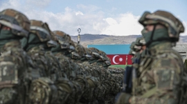
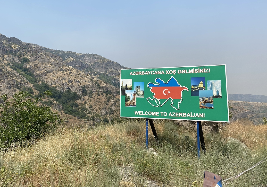
Azerbaijan and Armenia revived talks on border delimitation as delegates from the two countries met on the conditional interstate border last week.
Led by Azerbaijan's Deputy Prime Minister Shahin Mustafayev and his Armenian counterpart Mher Grigoryan, the border delimitation commissions met on the Gazakh-Ijevan section of the border on November 30.
According to the Foreign Ministry of Azerbaijan, the delegates discussed several organizational and procedural matters, and proceeded with mutual agenda on delimitation issues.
"The parties had reached an initial agreement regarding the text of the Regulation on the organization and holding of meetings and joint working meetings between the State Commission on delimitation of the state border between the Republic of Azerbaijan and the Republic of Armenia and the Commission on delimitation of the state border and Border Security between the Republic of Armenia and the Republic of Azerbaijan," the Ministry of Foreign Affairs said in a statement.
The parties also came to terms on negotiating the draft regulation on the joint activities of the border delimitation commissions.
As part of the efforts to intensify the meetings, the delegates agreed to set the date and venue for the next round of discussions.
The recent meeting on the conditional Azerbaijan-Armenia interstate border was the fifth phase of negotiations between the border delimitation commissions since May 2022. Two of the previous meetings were held on the border, while one took place in Brussels and another in Moscow.
The previous meetings were not very fruitful primarily due to the difference in views on the conditions for border delimitation.
A significant part of Azerbaijan’s state border with Armenia, measuring 1,007 kilometers, remained out of the country’s control for nearly 30 years after Karabakh (Garabagh) and East Zangazur regions fell under the illegal Armenian occupation in the early 1990s.
Following the Soviet Union’s dissolution in 1991, Armenia launched a full-blown military campaign against Azerbaijan, marking the longest and deadliest war in the South Caucasus region. The bloody war ended with a ceasefire in 1994, which saw Armenia forcibly occupying 20 percent of Azerbaijan’s internationally recognized territories. Over 30,000 Azerbaijanis were killed, and one million others were expelled from those lands in a brutal ethnic cleansing policy conducted by Armenia.
On September 27, 2020, the decades-old conflict between the two countries took a violent turn after Armenian forces deployed in occupied Azerbaijani lands shelled military positions and civilian settlements of Azerbaijan. During counter-attack operations that lasted 44 days, Azerbaijani forces liberated over 300 settlements, including the cities of Jabrayil, Fuzuli, Zangilan, Gubadli and Shusha, from a nearly 30-year-long illegal Armenian occupation. The war ended in a tripartite statement signed by Armenia, Azerbaijan and Russia on November 10, 2020. Under the statement, Armenia also returned the occupied Aghdam, Kalbajar and Lachin districts to Azerbaijan.
The cartographic complications on the Armenia-Azerbaijan state border surfaced following Azerbaijan’s victory in the 2020 war, as a result of which the Azerbaijani army restored control over a large portion of the border with Armenia. Baku and Yerevan are yet to find common grounds on the legal documents to be used during the delimitation process.
Armenia's Prime Minister Nikol Pashinyan suggested to use a map developed by the Soviet Union General Staff in 1975. However, the Azerbaijani authorities rejected his proposal as a "referral to a non-existent map".
"It is known that during the times of the former USSR, a number of maps of the region were prepared at different times, and not all of these maps were based on legal documents. As for the map of 1975 referred to by Armenia, there is no such map. A number of maps were prepared in the period 1973-1986," the Foreign Ministry of Azerbaijan stated.
"Instead of insisting on special reference to some 1975 map, it would be more useful for the Armenian side to start the delimitation work. It should not be forgotten that after the Patriotic War of 2020, it was Armenia that did not respond to the proposal of delimitation of the borders with Armenia for a long time," the ministry said in another statement.


 Azerbaijan has been recognized as one of the safest countries in the world, ranking 90th among 163 countries on the Global Terrorism Index 2025 (GTI).
 The Azerbaijani Defense Ministry has reported ongoing shelling of its army positions by Armenian forces since last week.